Mosque nearby Al-Djîlâniyy Moschee|مصلى الجيلاني
Germany
Mosque nearby Al-Djîlâniyy Moschee|مصلى الجيلاني
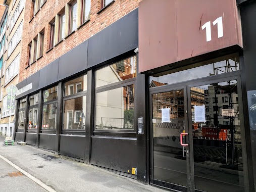
Al-Djîlâniyy Moschee|مصلى الجيلاني
Jägerstraße, 24143, Kiel, DE Deutschland
contacts phone
:
+49 176 43434607
website:
al-djilaniyy-moschee.business.site
Latitude:
54.3137054
, Longitude:
10.1485806
larger map & directions
read more
nearest Mosque
207 m
konstanze gerhard
Elisabethstraße 54, Kiel
Mosque
read more
307 m
Ulu Camii / Ulu Mosque
Elisabethstraße 6, Kiel
Mosque
read more
315 m
Selahaddin Eyyubi Camii
Sandkrug 32, Kiel
Mosque
read more
436 m
Mevlana Camii
Karlstal 42, Kiel
Mosque
read more
474 m
Selimye Camii
Karlstal 30, Kiel
Mosque
read more
1.238 km
Abn Taymiyyah // أبن تيمية
Schwedendamm 9, Kiel
Mosque
read more
1.254 km
Масджид Ат-Таухид
Zum Brook 21, Kiel
Mosque
read more
1.48 km
Islamisches Zentrum As-salam Kiel e.V.
2 Dietrichstraße, Kiel
Mosque
read more
1.48 km
Omar Bin Khattab Mosque
Dietrichstraße 2, Kiel
Mosque
read more
1.696 km
Centrum moschee
Alte Lübecker Chaussee 19, Kiel
Mosque
read more
1.872 km
Масджид Умар ибн Ал-Хаттаб
Diedrichstraße 2, Kiel
Mosque
read more
1.873 km
Habib Moschee
Flintbeker Straße 7, Kiel
Mosque
read more
3.198 km
Abn Temeh
Eichkamp 1, Kiel
Mosque
read more
3.613 km
مسجد
Hertzstraße 89-83, Kiel
Mosque
read more
3.627 km
Турски ислямски културен център в Кил
Helenenstraße 60, Kiel
Mosque
read more
59.857 km
Fatıih Camii
Katharinenstraße 47, Lübeck
Mosque
read more
59.88 km
Fatih Moschee
Katharinenstraße 37, Lübeck
Mosque
read more
60.672 km
Al-Amanah Moschee Ahlussunah-wal-djamaa
Braunstraße 11, Lübeck
Mosque
read more
60.672 km
Al-Amanah Moschee Ahlussunah-waldjamaa
Braunstraße 11, Lübeck
Mosque
read more
60.944 km
Lubeck Islamic Center
Fleischhauerstraße 55, Lübeck
Mosque
read more
📑
all categories
Accounting
Administrative area level 1
Administrative area level 2
Airport
Amusement park
Aquarium
Art gallery
Atm
Bakery
Bank
Bar
Beauty salon
Bicycle store
Book store
Bowling alley
Bus station
Cafe
Campground
Car dealer
Car rental
Car repair
Car wash
Casino
Cemetery
Church
City hall
Clothing store
Colloquial area
Convenience store
Country
Courthouse
Dentist
Department store
Doctor
Electrician
Electronics store
Embassy
Establishment
Finance
Fire station
Florist
Food
Funeral home
Furniture store
Gas station
General contractor
Grocery or supermarket
Gym
Hair care
Hardware store
Health
Hindu Temple
Home goods store
Hospital
Insurance agency
Jewelry store
Laundry
Lawyer
Library
Light rail station
Liquor store
Local government office
Locality
Locksmith
Lodging
Meal delivery
Meal takeaway
Mosque
Movie rental
Movie theater
Moving company
Museum
Natural feature
Neighborhood
Night club
Painter
Park
Parking
Pet store
Pharmacy
Physiotherapist
Place of worship
Plumber
Point of interest
Police
Political
Post office
Premise
Real estate agency
Restaurant
Roofing contractor
Route
Rv park, camping
School
Shoe store
Shopping mall
Spa
Stadium
Storage
Store
Subpremise
Subway station
Supermarket
Synagogue
Taxi stand
Train station
Transit station
Travel agency
University
Veterinary care
Zoo
administrative area level 3
administrative area level 4
sublocality level 1
sublocality level 2
sublocality level 3
↑