Health nearby Maria-Hilf Krankenhaus Bergheim
Coronavirus disease (COVID-19) Situation
confirmed cases
38828995
deaths
183027
Germany
Health nearby Maria-Hilf Krankenhaus Bergheim
Maria-Hilf Krankenhaus Bergheim
2, Klosterstraße, 50126, Bergheim, Köln, DE Germany
contacts phone
:
+49 2271 870
website:
maria-hilf-krankenhaus.de
Latitude:
50.952518
, Longitude:
6.637957
larger map & directions
read more
nearest Health
9.906 km
Zahnarztpraxis Hansjörg Wegener
Aachener Straße 550, Frechen
Dentist
Health
Point of interest
Establishment
read more
10.123 km
Center for dental health Köln-West
Von-Werth-Straße 3, Pulheim
Dentist
Doctor
Health
Point of interest
Establishment
read more
12.419 km
Ev. Beratungsstelle f. Kinder Jugendliche u. Erwachsene
Blindgasse 6, Frechen
Health
read more
12.424 km
Brustzentrum Frechen/Köln
Kapellenstraße 1 - 5, Frechen
Hospital
Health
Point of interest
Establishment
read more
12.898 km
Katrin Kleinau
Elisabethstraße 155, Frechen
Health
read more
13.458 km
Frau Dr. phil. Dipl.-Psych. Gisela Medert-Dornscheidt
Blaugasse 32, Köln
Health
read more
14.524 km
prorücken - Weiterbildung, Training, BGF
Aachener Straße 1143, Köln
Health
read more
15.115 km
PHYSIO4Kids und PHYSIOPraxis, Nadine Jakowetz
Wendelinusplatz 6, Hürth
Health
read more
15.236 km
Praxis Voos | Psychoanalyse | Psychotherapie
Am Zehnthof 9, Pulheim
Health
read more
15.413 km
easylife®-Therapiezentrum Köln-Marsdorf
425-427, Dürener Straße, Köln
Health
read more
15.418 km
Systemische Paar- und Familientherapeutin
Sinnersdorfer Feld 98, Pulheim
Health
read more
16.731 km
Herr Dirk Haarmann
Borchertstraße 34, Düren
Dentist
Health
Point of interest
Establishment
read more
18.49 km
CFH Gruppe
Im Mönchsfeld 2, Köln
Health
read more
18.75 km
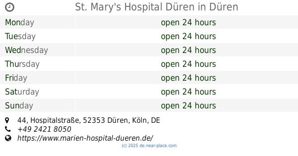
St. Mary's Hospital Düren
Hospitalstraße 44, Düren
Hospital
Health
Point of interest
Establishment
read more
Cellitinnen-Krankenhaus Maria-Hilf
Klosterstraße 2, Bergheim
Hospital
Doctor
Health
Point of interest
Establishment
read more
📑
all categories
Accounting
Administrative area level 1
Administrative area level 2
Airport
Amusement park
Aquarium
Art gallery
Atm
Bakery
Bank
Bar
Beauty salon
Bicycle store
Book store
Bowling alley
Bus station
Cafe
Campground
Car dealer
Car rental
Car repair
Car wash
Casino
Cemetery
Church
City hall
Clothing store
Colloquial area
Convenience store
Country
Courthouse
Dentist
Department store
Doctor
Electrician
Electronics store
Embassy
Establishment
Finance
Fire station
Florist
Food
Funeral home
Furniture store
Gas station
General contractor
Grocery or supermarket
Gym
Hair care
Hardware store
Health
Hindu Temple
Home goods store
Hospital
Insurance agency
Jewelry store
Laundry
Lawyer
Library
Light rail station
Liquor store
Local government office
Locality
Locksmith
Lodging
Meal delivery
Meal takeaway
Mosque
Movie rental
Movie theater
Moving company
Museum
Natural feature
Neighborhood
Night club
Painter
Park
Parking
Pet store
Pharmacy
Physiotherapist
Place of worship
Plumber
Point of interest
Police
Political
Post office
Premise
Real estate agency
Restaurant
Roofing contractor
Route
Rv park, camping
School
Shoe store
Shopping mall
Spa
Stadium
Storage
Store
Subpremise
Subway station
Supermarket
Synagogue
Taxi stand
Train station
Transit station
Travel agency
University
Veterinary care
Zoo
administrative area level 3
administrative area level 4
sublocality level 1
sublocality level 2
sublocality level 3
↑